Compiled by YJJcoolcool
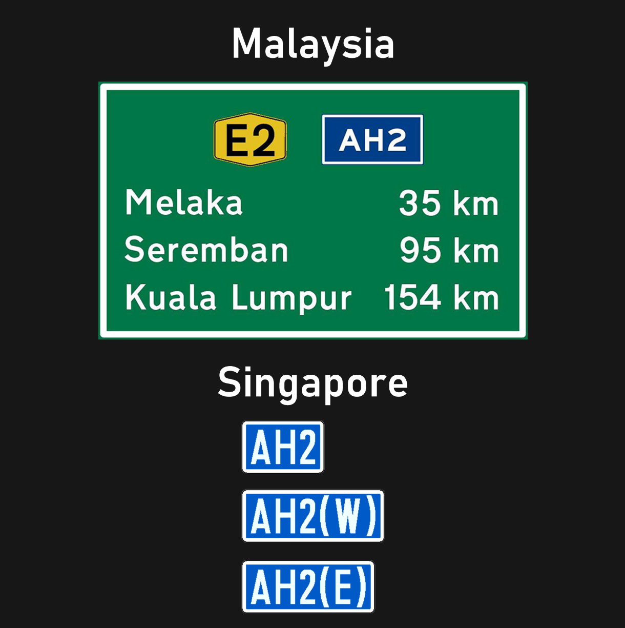
If you’ve travelled to Malaysia, you might recognise these signs along the highway with “AH2” on them. But did you know that Singapore also has these signs?
There are only 6 of these signs that can be found in Singapore, at these 3 locations:
-
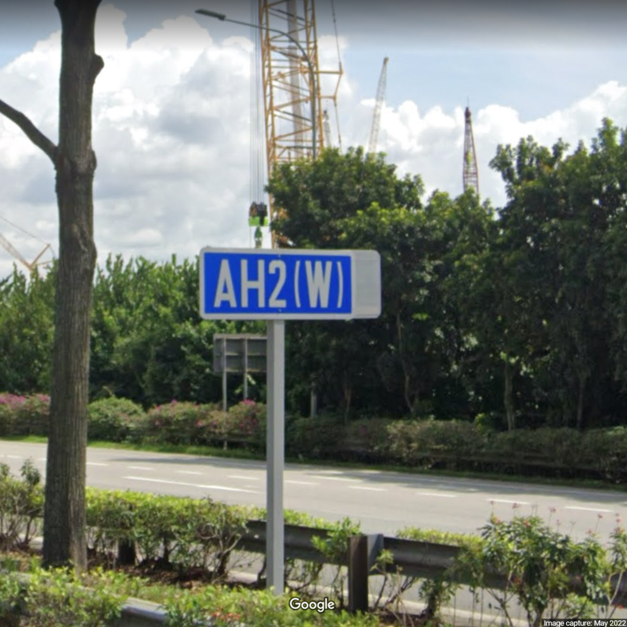
BKE, towards/away from Woodlands Checkpoint
Street View (away from Woodlands Checkpoint)
Street View (towards Woodlands Checkpoint) (This one is sneakily behind a tree!) -
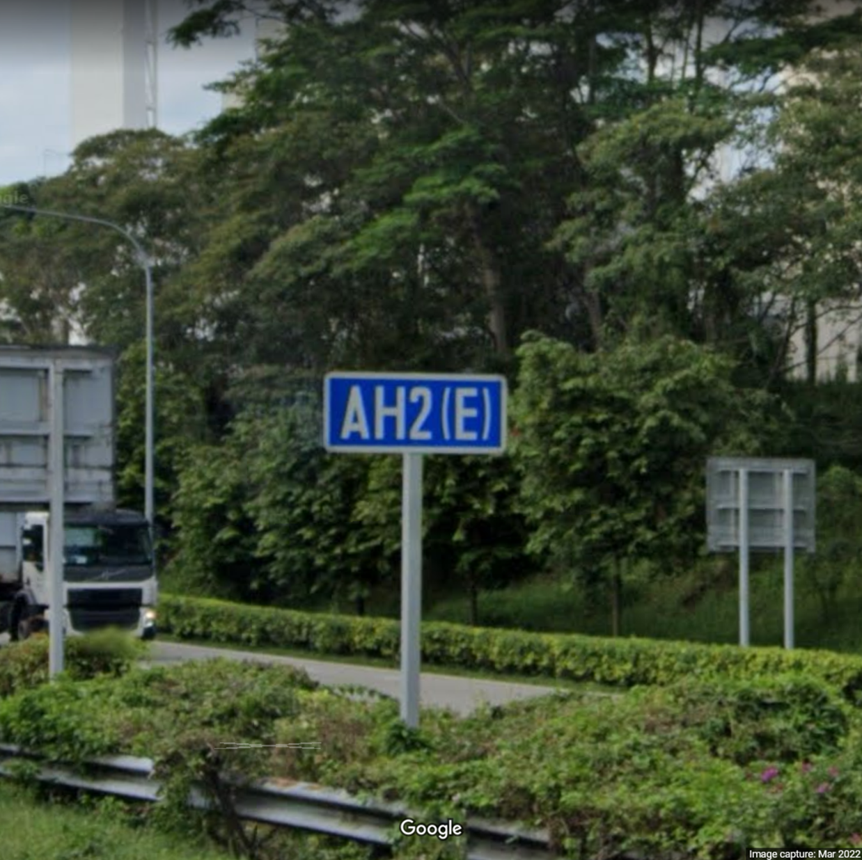
AYE, towards/away from Tuas Checkpoint
Street View (towards Tuas Checkpoint)
Street View (away from Tuas Checkpoint) -
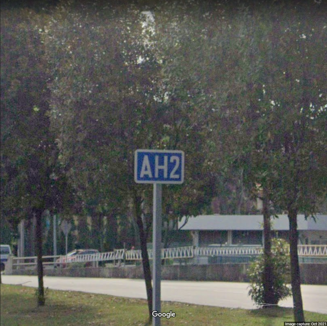
Clementi Road (before the junction with West Coast Ferry Road)
Street View (towards Pasir Panjang Terminal)
Street View (away from Pasir Panjang Terminal)
Official document from LTA with the locations: https://www.lta.gov.sg/content/dam/ltagov/news/press/2019/20190726_LTAInstallsTTRSigns.pdf
What is “AH2” anyway?
AH stands for the Asian Highway Network. It is a network of highway systems connecting different countries in Asia. AH2 is one of the highway routes that goes from Denpasar to Merak in Indonesia, then from Singapore all the way up to Khosravi, Iran. You can read more about the Asian Highway Network here: https://en.wikipedia.org/wiki/Asian_Highway_Network
Of all places… Clementi Road?
My best guess is that this route is meant for transport vehicles transporting goods. Clementi Road leads to the Pasir Panjang Terminal, which has shipping routes to Indonesia, where the route continues. If you read the Wikipedia article on AH2, it says that the route goes to Harbourfront instead (which also makes sense, since passenger ferries that go to Indonesia depart from Harbourfront).
Conclusion
What I find strange is that these are placed as standalone signs near the border crossings, and never found in any directional signs or kilometer markers along the route, so these signs pretty much serve no purpose at all. It’s interesting that they exist though.